Late 19th - Early 20th Century Large Scale Maps (Alphabetically)
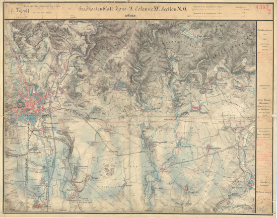
Gradkartenblatt Böhmen und Mähren
Military Topographic Maps of Bohemia and Moravia (1876-1879)
A full color set of maps from the Third Military Survey of the Austro-Hungarian Empire, covering the majority of Bohemia and Moravia and parts of Austrian Silesia, by the K. u. K. Militärgeographisches Institut; scale 1:25,000. The set is unfortunately incomplete with the Prag section being the most obvious gap. No legend is currently available, but consulting the Legend for the Austrian Spezialkarte 1:75,000 should be helpful. Placenames are variously in German and Czech, sometimes both. There is a distance measrue on the upper margin of the maps. Additional cartographic information for each sheet is listed at the source library online. There are many sites of Jewish interest here.
Source: Digitalezace Univerzity Karlovy

